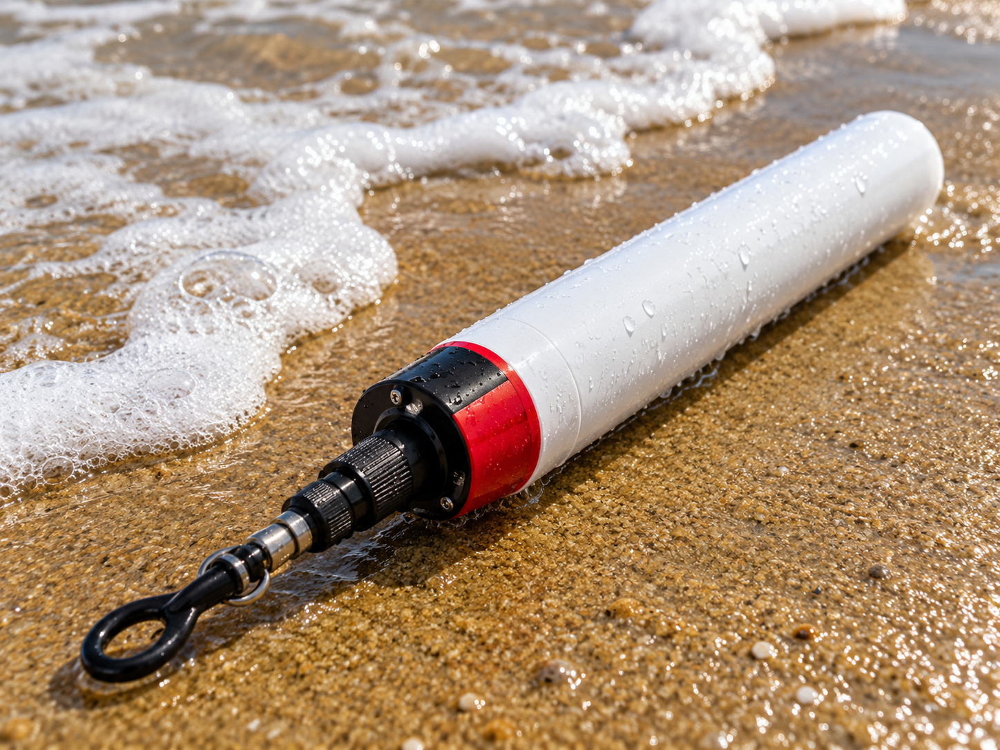
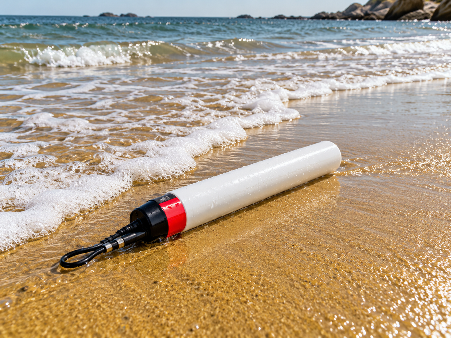
The EMCON Near Shore and Riverbed Profiling System is a simple and
cost-effective system designed to measure bottom, near-shore and
river-bed profiles.
It provides an alternative solution for applications where an echo
sounder cannot be used, while providing accurate contour information
of the bottom and a clear picture of the bed profile.
The system uses hydrostatic pressure-based measurement technology
to determine the depth of the water column.
The Near Shore and Riverbed Profiling System uses a hydrostatic
pressure-based measurement principle.
A hydrostatic pressure sensor measures the depth of the water column.
Specialized electronics are used to remove fast fluctuations caused
by waves, boat movement and other water movements.
The system has a measurement range of 0 to 10 meters.
The hydrostatic pressure sensor measures the depth of the water
column while the profiler is moved across the area being surveyed.
The system provides an accuracy of 0.5% of full scale (FS).
The Near Shore Profiler is designed to measure the bottom profile in
near-shore areas where an echo sounder cannot be used.
The profiler is carried from a boat or dingy to the point where the
mapping of the ocean floor is to begin. It is then lowered towards
the ocean floor and connected to a rope extending towards the beach.
The profiler records the depth continuously while it is pulled
towards the shore.
The profiler is equipped with hooks at both ends of its body. An 8 mm
plastic rope can be attached to the hook near the underwater connector.
The profiler is taken to the required starting point and the
recording is started using the key provided with the system.
The profiler is then dropped towards the ocean floor and pulled
towards the shore at a uniform speed as far as possible.
The profiler continuously records data every 2 seconds. The recorded
data consists of time versus depth information.
The profiler continuously records measurement data every 2 seconds
during the profiling operation.
The recorded data is presented as depth versus time, which provides
the profile of the ocean floor or river bed.
After the profiling operation is completed, the recorded data can be
downloaded directly to a computer.
The data is available in Microsoft Excel/CSV format for further
analysis and processing.
The River Bed Profiler is designed to measure the cross-sectional
profile of a river bed.
The profiler is placed at the bottom of the river and is dragged from
one side of the river bank to the other using ropes.
The profiler records changes in the river-bed profile by taking the
water level as the reference.
The profiler can be connected to ropes at both sides of the river.
Surveyors can hold the ropes at either bank of the river.
The profiler can be pulled from one bank to the other according to
the convenience of the user.
The rope arrangement also allows the profiler to be pulled back in
the opposite direction if it becomes stuck on underwater materials.
During river-bed profiling, the profiler records changes in the
river-bed profile by taking the water level as the reference.
Changes in water level caused by disturbances such as boat movement
and waves are measured and subtracted to obtain the actual river-bed
profile data.
The system uses specialized electronics to remove fast fluctuations
caused by waves and other water movements.
Disturbances caused by boat movement and waves can also be measured
and subtracted during river-bed profiling to obtain the actual bed
profile data.
The body of the profiler is made from high-density plastic.
The profiler includes a pressure port for the hydrostatic pressure
sensor, key holes for operation, underwater connectors and hooks for
towing and reverse pulling.
Two keys are provided with the profiler for different operating
functions.
The profiler continuously records depth data while it is being moved
across the survey area.
For near-shore profiling, the profiler records data while it is
pulled from the offshore starting point towards the shore.
For river-bed profiling, the profiler records the river-bed
cross-section while it is dragged from one river bank to the other.
The collected data can be downloaded to a computer in Microsoft Excel
or CSV format.
The data is presented as depth versus time and can be used to
represent the profile of the ocean floor or river bed.
The extracted sample data provides a graphical presentation of the
profile, with time on the X axis and the sea-floor profile on the
Y axis with reference to mean sea level.
The sample data is presented for every 8 minutes.
The Near Shore and Riverbed Profiling System provides a simple and
cost-effective approach to measuring bottom and near-shore or
river-bed profiles in applications where an echo sounder cannot be
used.
Tell us what you need to measure, where it will be deployed and the application. Our team can help identify an existing EMCON solution or discuss a custom-developed system.